
Trees & Urban Canopy
Tampa Maps Street-Level Heat to Guide Shade and Tree Canopy
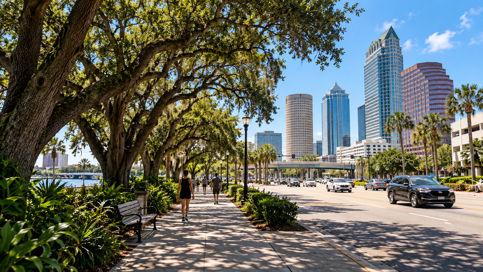
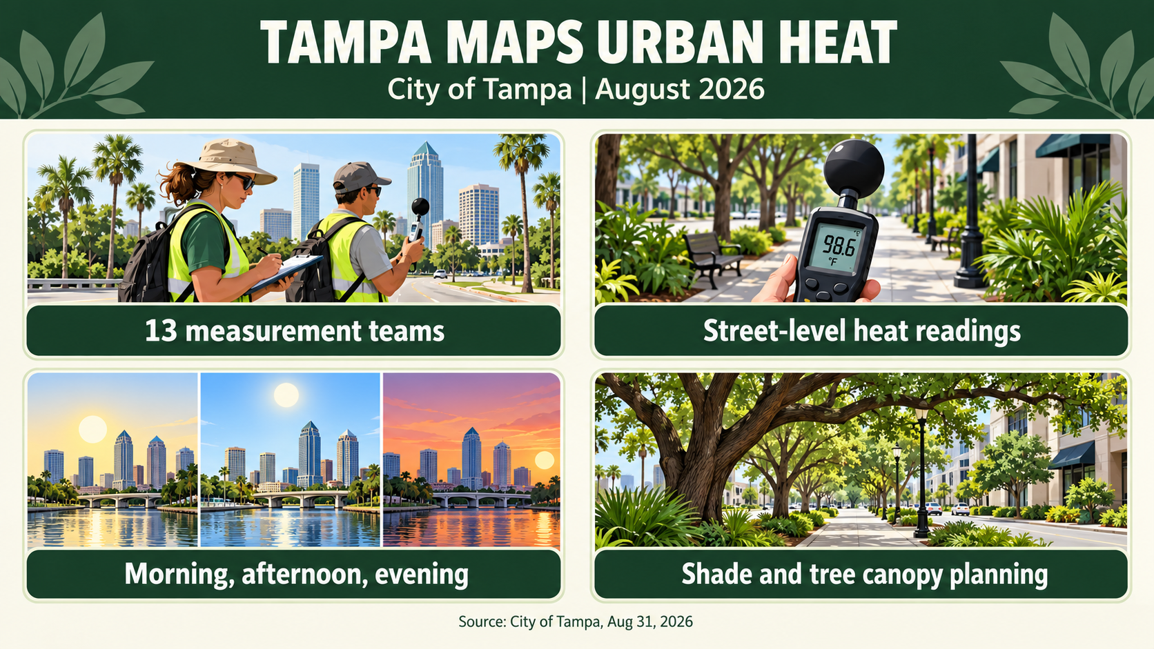
The City of Tampa announced on August 31, 2026, that its Sustainability and Resilience Office would collect street-level temperature and humidity data for the Heat Watch campaign. According to the city, Tampa is the first Central Florida city to join this national urban-heat mapping effort. Teams planned to use vehicle-mounted CAPA Strategies sensors with Verizon technology to transmit neighborhood-level measurements along selected routes. Thirteen teams of city staff and Tampa Green Team members were scheduled to gather readings on September 1 in the morning, afternoon, and evening. The aim is to understand the heat index in places where people walk, work, and wait for transit. The City says this represents its first street-level heat measurement effort, providing more local detail than satellite readings or standard weather stations. Its announcement also recalls that Tampa reached 100 degrees Fahrenheit and a heat index of 119 degrees Fahrenheit in 2025. Those numbers describe the city's prior heat record, not the temperature of a particular block or property. The data collection is a step toward identifying where future shade and cooling investments might be most useful. Readers should distinguish the mapping project from a completed tree-planting schedule: the City announced a measurement effort, not a finalized list of neighborhoods receiving new trees. The city's plan calls for measurements along selected neighborhood routes rather than a reading at every address. Verizon provided the technology through an in-kind donation, according to the announcement. The City expected the readings to capture conditions at several different times on the same day.
Tampa identifies shade, tree canopy, hydration stations, and cooling corridors as possible uses for the information collected through Heat Watch. That makes the project relevant to landscape planning even before the City publishes neighborhood-specific findings. Trees can provide shade along streets, sidewalks, and outdoor gathering areas, but the right species, planting space, soil volume, and long-term maintenance matter for a successful installation. A private property owner planning a Tampa landscape renovation might also consider where afternoon sun reaches walkways and seating areas and whether existing mature trees need care. Those design considerations are an inference from the City's stated heat-resilience goals, not a claim that the new data proves a specific planting choice. The campaign measures heat and humidity at different times of day because conditions vary across a city and throughout the day. Future findings may help planners compare neighborhoods and prioritize investment. For Ecoscape customers, the immediate value is awareness that the City is gathering more precise evidence about urban heat, while any property-specific tree decision still requires assessing overhead clearance, underground utilities, available rooting area, and the owner's maintenance plan. Urban heat is particularly relevant where pavement and limited shade affect people outdoors. Once results become available, property owners and local planners can compare proposed shade projects with the actual street-level findings rather than assume every neighborhood experiences heat in the same way.
City of Tampa
Source:
August 31, 2026
Date:
Tampa urban heat island mapping, Tampa tree canopy shade, landscape heat resilience, street level heat Tampa, cooling corridors trees